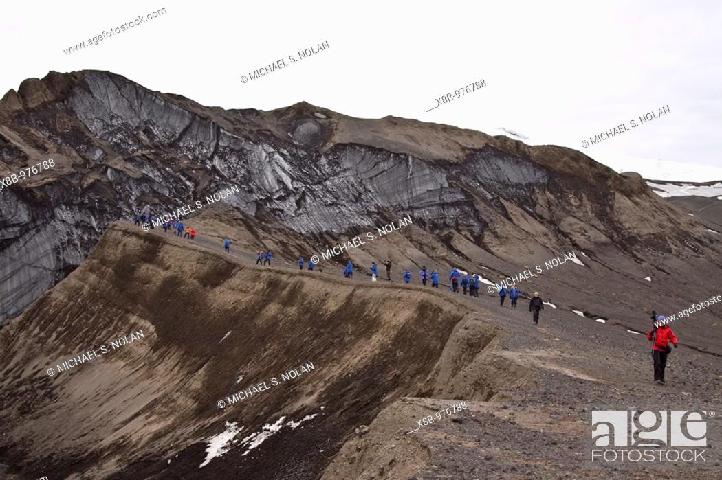
Foto de stock - Views of Deception Island, an island in the South Shetland Islands off the Antarctic Peninsula which has one of the safest harbours in Antarctica A recently active volcano, its eruptions in 1967 and 1969 caused serious damage to the scientific stations there The only current research bases are run by the Argentine Army and Spain The island, located at 62°57´S 60°36´W, is approximately circular with a diameter of about 12 km 7 mi Its highest point, Mt Pond, has an elevation of 542 m 1778 ft, and over half the island is covered by glaciers The centre of the island is a caldera formed in a huge eruption which has been flooded by the sea to form a large bay named Port Foster, about 9 km 5 5 mi long and 6 km 3 6 mi wide The bay has a narrow entrance, just 230 m 754 ft wide, called Neptune´s Bellows Adding to the hazard is Ravn Rock, which lies 2 5 m 8 ft below the water in the middle of the channel Just inside Neptune´s Bellows lies the cove Whalers´ Bay, which is bordered by a large black sand beach Since the early 19th century Deception Island was a favourite refuge from the storms and icebergs of Antarctica It was first used by sealers, then in 1906 a Norwegian-Chilean whaling company started using Whalers´ Bay as a base for a factory ship, the Gobernador Bories Other whaling operations followed suit, and by 1914 there were 13 factory ships based there On February 3, 1944 the British established a permanent base on Deception Island as part of Operation Tabarin, and occupied it until December 5, 1967, when a volcanic eruption forced a temporary withdrawal It was used again between December 4, 1968 and February 23, 1969, when further volcanic activity caused it to be abandoned

Imagen: Views of Deception Island, an island in the South Shetland Islands off the Antarctic Peninsula which has one of the safest harbours in Antarctica  A recently.

Criterios de búsqueda

Selecciona varios criterios